Fingers are crossed that heavy rain scheduled to batter Vancouver Island’s west coast Tuesday won’t feed flood concerns along the Island’s southeast population corridor.
Environment Canada is predicting a storm due to begin Tuesday morning over West Vancouver Island bringing total rainfall amounts in excess of 100 mm to the Tofino/Ucluelet area, with localized flooding in low-lying areas and possible washouts near rivers, creeks and culverts.
But the bulk of the storm is expected to cross the Island north of Nanaimo, easing flooding concerns that arrived over the weekend.
Heavy rainfall is likely from the Comox Valley to Port Hardy, but the Victoria to Nanaimo region should see more moderate rain, in addition to heavy winds.
Some updates from Monday (Click the links for more):
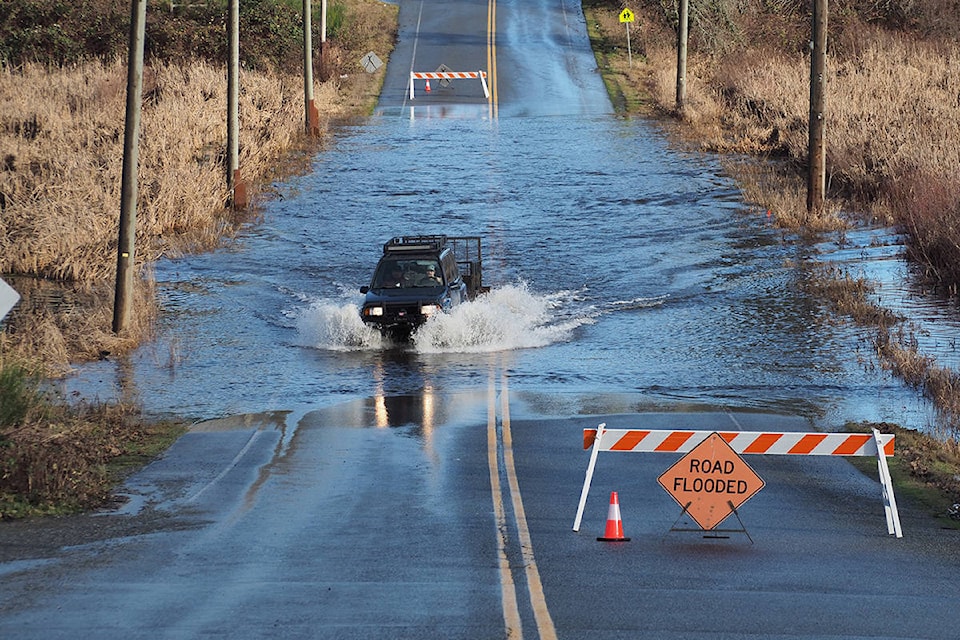
- After a week of almost constant rain, Lake Cowichan faced flooding problems over the weekend as the river and lake overflowed their banks.
- Flooding concerns are rising like the water levels for residents of Westholme, Chemainus and the Halalt First Nation along the Chemainus River.
- The B.C. River Forecast Centre has ended the flood watch for the Nanaimo River and Englishman River and has ended the high streamflow advisories for other areas of Vancouver Island.
- The Cowichan Valley Regional District says it is keeping a close watch on flooding throughout the region.
- BC Hydro warns of fluctuating river levels in Campbell River until Feb. 15
For more news from Vancouver Island and beyond delivered daily into your inbox, please click here.