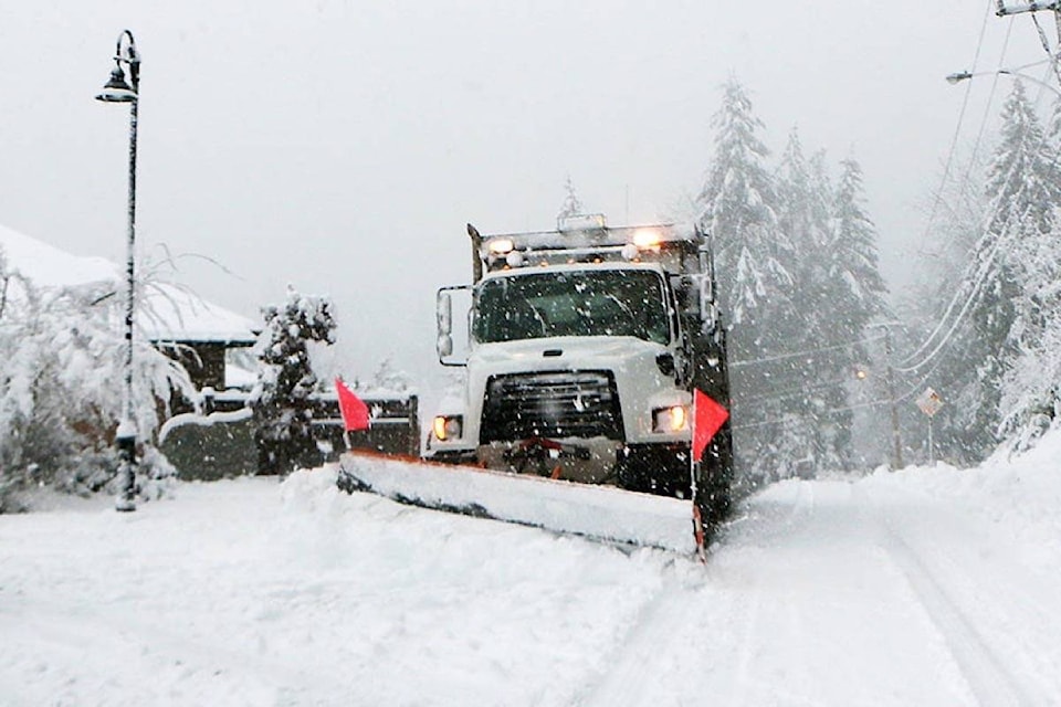
It won’t be ‘Snowmaggedon,’ but Vancouver Island residents should expect to see some white stuff overnight Thursday and into Friday morning.
Forecasts for the Island’s major population centres along the southeast corridor range from wet slush that may or may not stick to accumulations of up to 10 centimetres of snow by noon on Friday.
Matt MacDonald, a meteorologist with Environment Canada, said the forecast for the Cowichan Valley is for light snow to begin falling at about 10 p.m. Thursday evening.
“The snow will intensify beginning at about 3 a.m. Friday morning, and we expect there will be about five centimetres on the ground by the time people wake up,” he said. “Another five centimetres is expected by noon, and then it should switch to showers.”
In Greater Victoria, some residents woke up Thursday to a few wet flakes with Environment Canada forecasting rain or wet snow beginning late in the evening and wind picking up overnight. Friday could see rain mixed with wet snow early in the morning.
For the Comox Valley, the agency said snowfall amounts will vary with elevation and proximity to the ocean. It added there is the potential for snowfall accumulations to exceed 5 cm through Friday morning. The snow is expected to change to rain near midday Friday.
MacDonald said Saturday is expected to be an unsettled day, with just a few flurries in the evening, but he said another system will move in on Sunday, which is forecast to drop another five to 10 centimetres in Cowichan, with a 30 per cent chance of flurries Sunday and a 60 per cent chance of flurries Monday around the capital.
“Then the temperatures are expected to plunge as a system bringing Arctic air will reach us by Sunday night,” he said.
“Temperatures should drop to about -7 Celsius on Sunday night (in Cowichan). The temperatures are not forecast to get above zero on Monday and Tuesday during the day, and they will drop to about -10 C at night with the wind chills. It may even drop to as low as -20 C on Tuesday night.”
Currently, the predicted high for Monday (Jan.13) in Comox is -5C with a low of -8C. With the windchill, it may feel like -11C. The average high in mid-January is 5C and the low is 0C.
MacDonald said the Arctic system will stay entrenched until at least the end of next week, and another “significant” snowfall is forecast for Wednesday, but it’s too early to forecast the amount of snow expected.
“We’ll be in the deep freeze for awhile, so people are advised to get out their puffy jackets, tuques, scarves and winter boots,” he said.
February 2019 saw record-breaking snowfall for the region, with Greater Victoria getting more snow that month than any other February since 1941. For the first three months of 2020, Environment Canada predicts Greater Victoria temperatures will be below seasonal averages.
— with files from Black Press
robert.barron@cowichanvalleycitizen.com
Like us on Facebook and follow us on Twitter