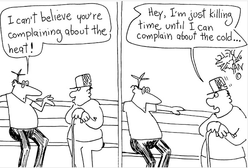
A truism in meteorology is one extreme for a particular weather element is usually followed by another a short time later.
“In the case of our COVID summer of 2020, it was a matter of rainfall extremes being reversed from June to July,” noted Chris Carss, a volunteer weather observer for Environment Canada. “After an unusually wet June, July was unusually dry, even for a ‘dry season’ month.”
A total of just 9.3 millimetres of rain was measured at Carss’ Chemainus weather station for the entire month, just a third of the normal amount of 27.5 mm.
RELATED: No early arrival for Vancouver Island summer this year
RELATED: Osoyoos hottest spot in Canada, summer sun sparks heat warnings across B.C. Interior
“To be sure, there have been a few drier months in the summer some years, but the shift from wet to dry in the past two consecutive months has been enough to support the general pattern of alternating extremes,” Carss indicated.
Other weather elements of the month were close to normal.
”However, this was largely due to mostly cool weather with below normal temperatures during the first half of July being followed by above normal temperatures for the second half of the month,” added Carss. “The two anomalies cancelled each other out from a purely numerical point of view.”
The mean maximum temperature of 23.9 Celsius and minimum of 14.2 were less than a degree different from the respective normals of 23.7 C and 13.3. The extreme maximum of 31.5 C occurred on July 30 and the extreme minimum of 10.5 C on July 12.
The days of mostly or partly sunny conditions matched the normal of 19. Of the 12 mostly cloudy days in July, six had rainfall – one less than the normal.
”With August underway, it looks like a continuation of late July will persist for the entire month and possibly for all or most of September as well,” Carss pointed out. “Temperatures are expected to range from near to above normal both months with below normal rainfall.
”This could signal a return to the vintage Septembers of years gone by, which would bring a nice payback for the late summer weather that came this year, although it also raises the risk of forest fires and increased water restrictions.”
For more news from Vancouver Island and beyond delivered daily into your inbox, please click here.
