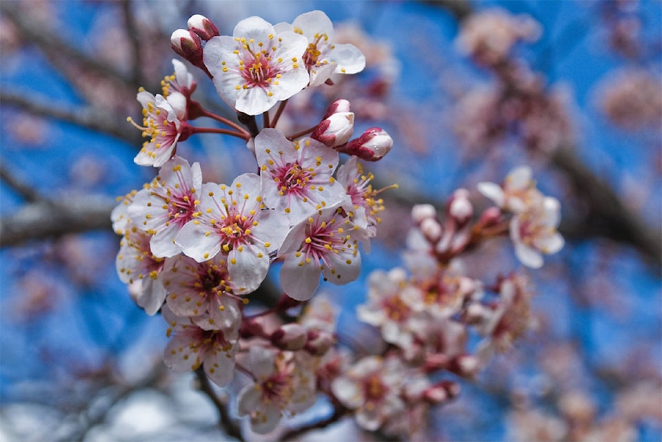
There may have been snow falling Wednesday, but spring is right around the corner. How do we know? Because the City of Victoria has created a “blossom map” to seek out the best spots to find blooms – the surefire sign of West Coast spring – across the city.
Who's ready for the cherry blossoms? Check out our "blossom map" to see where and when to plan a blossom walk around the city! #yyj #spring https://t.co/L8P1k2KbV6 pic.twitter.com/WegKwaZmv1
— City of Victoria (@CityOfVictoria) February 16, 2018
The beautiful buds are the flowers of cherry and plum trees, and generally start to flower mid-February. Depending on the weather and the species of the particular tree, they could be in bloom all the way to mid-May.
The map is designed by colour, with the darker pink trees representing the shade of early bloomers and the lighter pink trees signifying the colour of the buds that tend to flower in the late spring.
Yellow points you in the direction of a magnolia tree. Check out the map at bit.ly/2BFMVpV and plan for some spring strolls.