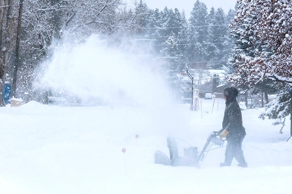
While the winter weather that walloped Vancouver Island throughout the weekend didn’t hit ‘ludicrous’ levels, the snow and cold weather did break some records, according to Environment Canada.
Armel Castellan, a warning preparedness meteorologist with the weather agency said while the storm system which struck the Island the past few days “doesn’t happen very often,” there was a precedent set.
On Feb. 13, the Comox weather station saw 16 cm of snow; on the same day in 1923, the area saw 25.4 cm. of snow. However, those in Campbell River can lay claim to some record-setting days throughout the weekend.
On Friday, Feb. 12, the area broke a record with 8.8cm of snow. Despite receiving 11.6 cm on Feb. 14, the region fell short of the 35.6cm which fell on the same day in 1954.
Additionally, Campbell River also broke a cold weather temperature record of -7.4 C on the same day, explained Castellan.
An explanation of the heavy snowfalls was provided by Chris Carss, a volunteer weather observer/recorder for Environment Canada at his Chemainus home.
“Most storm systems that hit Vancouver Island during fall, winter and pre-spring are arriving from the Pacific Ocean in a mainly westerly large scale marine wind circulation that produces rain and mild temperatures,” he indicated. “However, when an arctic outflow circulation develops over the B.C. mainland, the surface winds reverse to an easterly circulation bringing below freezing temperatures to Vancouver Island from the frozen mainland.
“Meanwhile, the upper level winds continue to circulate from the west bringing the Pacific storms with them. The storms and the two wind circulations collide over our otherwise rainy island and the precipitation falls as snow as the storm systems are chilled by the outflow. Once the arctic outflow collapses after being overpowered by the opposing wind flow, the milder Pacific winds resume their westerly circulation and the precipitation changes back to rain.
“If we’re lucky, the clouds finally break up for a while, giving us some respite for a day or two before the next batch of storms move in from the Pacific Ocean.”
And that’s exactly what transpired with a break from the precipitation after the weekend.
Carss documented a total of 21 cm of snow accumulated by Sunday. The maximum temperature was 0.5 C and minimum -3.0 C. The systems had ended as of Tuesday, with no further snow expected.
While many people in the region were hoping the weekend weather was a last blast of winter, Castellan warned Islanders to not put away the shovels quite yet.
“Climatologically speaking, we’re on the up and up. This time of year, there is an increased sun angle so it has such a big impact; we’re on our way to spring but we’re still a bit below normal.”
Castellan said the next few days will have lows above zero, with some precipitation set to come into the latter part of the week. Additionally, he is tracking a large rain event Sunday and Monday, where temperatures are predicted to return to seasonal levels.
Beyond that, he warns that temperatures could again return to at or below normal, with a potential for snow later in February or into March.
“What we saw here was a nation-wide polar vortex, but we got off pretty easy compared to the rest of the country. What we do have going forward in terms of a cold snap is a northwesterly flow. There’s the old adage that you just can’t trust them.”
photos@comoxvalleyrecord.com
Like us on Facebook and follow us on Twitter
RELATED: ‘Significant snowfall’ in the weather forecast for Vancouver Island