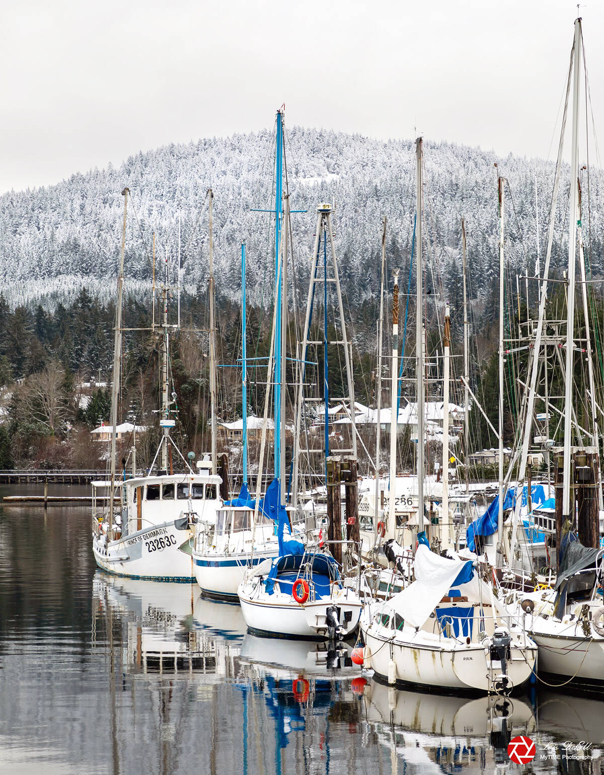
January weather in the Chemainus Valley continued to be affected by the La Nina ocean current that tends to bring below normal temperatures to the west coast.
“The month started off rather snowy and cold by Chemainus Valley standards, with temperatures about six Celsius below normal and snowfalls nearly double the normal for the entire month being dumped during the first five days,” noted Chris Carss, a volunteer weather recorder/observer for Environment Canada at his Chemainus home.
“After that, temperatures moderated to just half a degree below normal which was enough to change the precipitation to rain after a brief episode of freezing rain on Jan. 6. Most of the rain was of light intensity and petered out after Jan. 20, returning only on the last day of the month and continuing intermittently into early February. The dry period brought a mixture of sunshine, cloud and fog, and caused an overall rainfall deficit of more than 70 millimetres below the seasonal normal amount and a combined precipitation deficit near 60 millimetres below normal.”
Carss added sunshine for the month was slightly above normal, with occasional appearances during the unsettled weather on the first 20 days and then becoming more frequent during the dryer conditions of the last 11 days.
Days of mostly or partly sunny conditions with or without precipitation showed a drop in the number of these mixed weather days from December’s total. Carss has not yet calculated normals for this new statistic, but a pattern seems to be emerging that suggests normals of 20 or more days of mixed sun and sun/precipitation for each of the spring, summer, and early fall months and less than 20 such days per month in December and January.
Statistics for January were as follows:
Temperature stats
Mean maximum 6.2 C; normal 6.8 C.
Mean minimum 1.8 C; normal 2.3 C.
Extreme maximum 12.5 C on Jan. 20.
Extreme minimum -6.0 C on Jan. 1.
Precipitation and sunshine stats
Days mostly or partly sunny and dry 6; normal 5.
Days with precipitation and cloudy or partly sunny 17; normal 20.
Total rainfall 156.5 mm; normal 231.1 mm.
Total snowfall 36.2 cm; normal 21.0.
Total combined precipitation 192.7 mm; normal 252.1 mm.
Days mostly cloudy or foggy and dry 8.
Days mostly or partly sunny, with or without precipitation 11.
On Thetis Island, Keith Rush recorded 170.5 millimetres of rain and snow equivalent for January at his Foster Point Road residence. The total in January 2021 was 227.5 mm and the average January produces 175.8 mm of precipitation.
February is obviously now well underway and the light rain and drizzle that kicked off the month is giving way to a dry spell expected to last until about the 20th.
“After that, there will likely be some days with wet snow mixed with or changing to rain with temperatures mostly near normal, now that January’s La Nina has lost most of its grip on the west coast,” Carss explained. “It may be of some interest to note that the expected shift from mostly dry to somewhat wet weather around the 20th of this month is a reversal of the shift from mostly wet to mostly dry that occurred just after the 20th of last month.”