Don’t let the rain that fell overnight on many parts of the Island fool you. It’s dry out there.
And that has Vancouver Island firefighters and water watchers increasingly on edge.
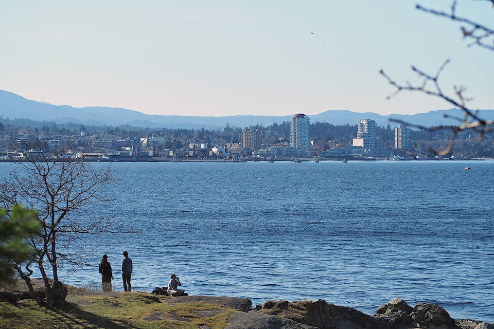
Nanaimo initiated water conservation measures Monday, limiting lawn and garden water to nights and early mornings between 7 p.m. and 7 a.m. after what, according to Environment Canada, was Nanaimo’s sixth driest March on record since record-keeping started in 1892.
“This is the lowest March we’ve seen in about 12 years in our drinking watershed,” said Bill Sims, city director of engineering and public works. “Up in the watershed we get significantly more rain than we do in town. We almost had nothing in town.”
“It was, like, five millimetres for the month, but we had 42 up in the watershed, which is something like 10 to 20 per cent of our normal March rainfall,” Sims said.
RELATED: Dropping water levels worry watchers at Cowichan Lake
The snowpack is much less too, about 50 per cent of the normal average.
“We would typically see it continuing to build well into April, but it’s been declining now for about two or three weeks,” Sims said.
But, he said, the region has received near average precipitation overall throughout the wet season that starts in October.
The city started storing water in the Jump Lake Reservoir, now at about 87 per cent of full storage, in March to prepare for the dry season. Water is being saved up slowly to have full storage by June. Sims said water storage now starts earlier in response to the pattern of winter droughts in recent years.
“I think the major concern for us is how dry everything is right now,” Sims said. “People will start watering early and the local forests are very dry. The risk of wildfire is pretty significant.”
RELATED: Unusually dry March leads to dozens of grass fires in B.C.
The Comox Valley set a new record for a dry March, shattering a 50-year-old one for low precipitation. Comox fire chief Gord Schreiner said he and his team are already gearing up for what could be a busy and long fire season.
With a 250-hectare wildfire already burning east of Neskonlith Lake near Chase, Schreiner explained an early start to the season is a relatively new trend.
“It’s been super, super dry and we’re already seeing fires in the province. Normally, the wildfire season begins in late July through August to September, but we saw it start in June last year.”
Island residents are being reminded to pay close attention to local burning bylaws.
“The fire department has been responding to a number of calls about open burning in violation of the city bylaw. We’re asking people thinking about a recreational fire or backyard burning to refresh themselves about the rules for open burning,” Campbell River fire chief Thomas Doherty said in a media release.
Armel Castellan, Environment Canada meteorologist, said March dry conditions spread across all of B.C. and much of the Yukon.
“We started off where February left off, which was cold,” Castellan said.
The high pressure ridge that helped maintain cold clear air over B.C. helped prevent precipitation from the Pacific Ocean from reaching the B.C. coast until the middle of March when it started to warm up.
“Just to give you an example, Nanaimo only saw 17.8 per cent of normal precipitation, so 20 millimetres versus the 113 they normally would see, so that ranks them sixth driest and that takes them back to 1892 records,” he said.
RELATED: 40 records broken across B.C. as hot streak continues
Castellan said this is the time of year when meteorologists become concerned about the snow pack in the mountains, which becomes a source of water that replenishes city water reservoirs through the summer, and people working in emergency management and atmospheric science are “doing a rain dance” in hopes there will be “June-uary” conditions in late spring, early summer that will provide steady rains.
“Because we know come July and August there’s going to be a honking big [high-pressure] ridge that’s going to probably give us almost no precipitation, maybe a few little dry cold fronts that spark some wildfires and then you’ve got yourself a problem again,” Castellan said.
Rain patterns are changing too. Castellan and Sims said the majority of the region’s annual precipitation is now compressed into fewer days of the year.
“One thing that has become more and more clear over the last decade is we’re expecting precipitation to go up in total, but we’re actually expecting it to be concentrated during our active storm months,” Castellan said. “The November, December, Januaries of the year are going to be wetter still … We used to see 12 days of the year amount to half the annual total of rain or precipitation and we’re expecting that to shift to only six.”
There is relief for the parched Island in the forecast. Rain is on the way over the coming week and into mid April, bringing a close to the March dry spell.
The five coldest Marches on record occurred in 1912, 1926, 1924, 1911 and 1965, according to Environment Canada records.
— with files from Erin Haluschak
photos@nanaimobulletin.com
Like us on Facebook and follow us on Twitter