BC Hydro reduced river flows on March 1 in the Campbell River system due to lower than normal inflows into upstream reservoirs since Februrary.
Hydro moved the Campbell River flow rate from the John Hart hydroelectric facilities from about 100 cubic metres per second (m3/s) down to about 80 m3/s.
This flow rate keeps the riverbed fully covered with water for fish habitat, BC Hydro spoklesperson Stephen Watson said in his Campbell River system update. Operations over the next few months will be based on the water supply conditions. BC Hydro will continue managing the system in consideration of downstream fish requirements to summer recreational targets in the reservoirs.
Since early January, the weather has been drier and inflows into the Campbell River system lower than average, Watson said. Precipitation in February was 63 per cent of average, March 95 per cent of average, and April to date, 50 per cent of average. However, with the help of two weeks of early storms experienced in January, the upper watershed snowpack is just slightly below where it should be for this time of year. The snowpack tends to peak around mid-April.
Actual water inflows into the Campbell River system in February were 47 per cent of normal, and in March were 63 per cent of normal.
The February to September water supply forecast is updated each month. This year’s first forecast back in early February, which is updated monthly, was for 104 per cent of normal water inflows into the watershed over that period. In early March it was updated and dropped down to 94 per cent of normal given the dry February. For April, it has just been updated to 86 per cent of normal.
The water supply forecast for the Campbell River watershed is the third lowest – the Puntledge River and Ash River watersheds on Vancouver Island are tied for the lowest at 82 per cent of normal – of BC Hydro’s hydroelectric watersheds across the province. A unique weather situation to the mid-Vancouver Island area.
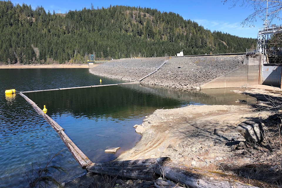
RELATED: John Hart Dam project will move massive amounts of earthfill
However, the residual forecast for the April to September period is about 96 per cent of normal given the near average snowpack.
Reservoirs lower than average
The water level at Upper Campbell Reservoir/Butte Lake is currently at about 214 metres and slowly drafting. This level is about two metres below average for this time of year. The summer recreation target from mid-June to early September is 217 metres to 220.5 metres.
BC Hydro forecasts that, unless there is a significant change in the weather, this may be another year where we will be in the lower end of that target range over the summer period.
One of the benefits of our proposed Strathcona Dam Water Discharge Upgrade Project: full water management capabilities during a low water level condition.#CampbellRiver pic.twitter.com/AM5e3vzFLG
— Stephen Watson, BC Hydro (@SWatson_BCH) April 15, 2021
The Lower Campbell Reservoir/McIvor Lake is currently at about 176.25 metres. This level is about 0.8 metres below average for this time of year. The target for this reservoir’s summer recreation level is 176.5 metres to 177.5 metres, and we currently forecast the reservoir level being near the bottom of that target range.
About 80 per cent of the water storage in the Campbell River system is within Upper Campbell Reservoir/Buttle Lake. For a water storage analogy, the Upper Campbell Reservoir would be a bathtub, Lower Campbell Reservoir a bucket, and John Hart Reservoir would be a tea cup.
The weather forecast over the next few days looks dry and warm, with the snowmelt expected to begin in mid-April.
BC Hydro will provide a water supply and operations update in May.
RELATED: Water flows down Elk Falls Canyon to increase to accommodate steelhead migration